Douclot-Nolte.1889
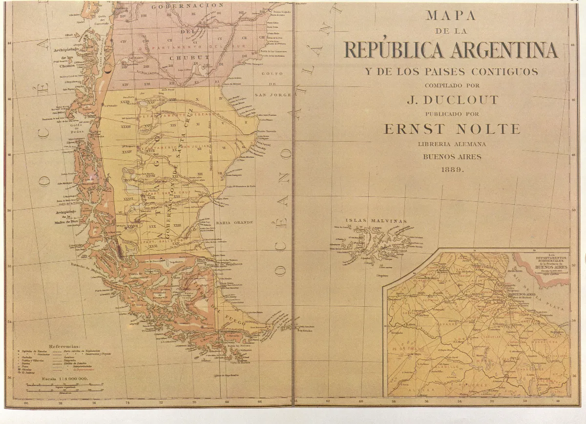
Map of the Argentine Republic and neighbouring Countries- 1889 The map partially reproduced here wasdrawn up in Buenos Aires in 1889 by J. Duclout and published by E. Nolte. In the southern region the international boundary is shown traced through the centre of the Beagle channel, continuing beyond the eastern mouth of the Channel, indicating Picton, Nueva and Lennox Islands and all other islands and islets extending southward as far as Cape Horn as being under Chilean sovereignty; all the Campos de Hielo and Neva Esperanza fiord, however, appear to be argentinian.
Licencia Fecha
1889 (Ano)
Etiquetas
Wikimedia Commons
Década 1880
Fuente / Crédito
J. Duclout and E. Nolte — Wikimedia Commons (Dominio público)
Fuente original
https://commons.wikimedia.org/wiki/File:Douclot-Nolte.1889.jpg Parte del fondo
Fondo Wikimedia Commons — Chile CDA-WIKI-001 Fotógrafo
J. Duclout and E. Nolte
Subida por
Wikimedia Commons
Comentarios
No hay comentarios aún. Sé el primero en comentar.