Latzina1888
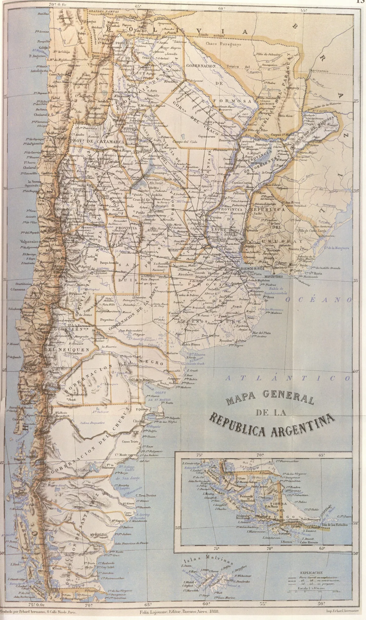
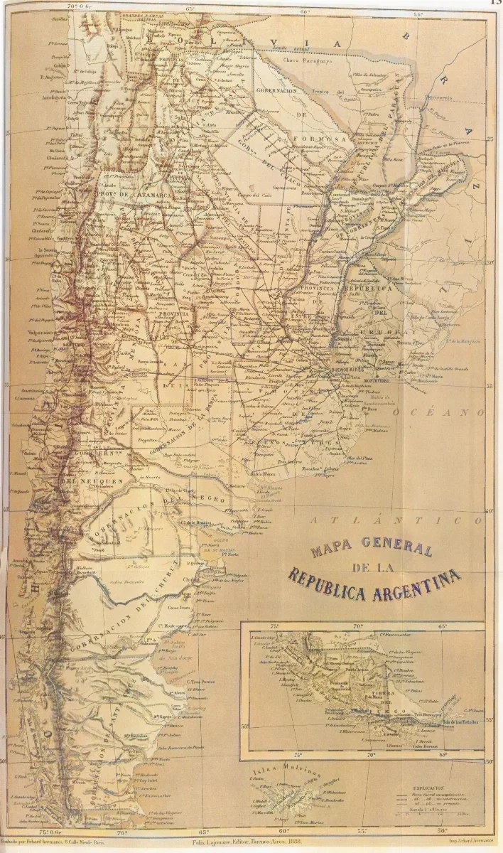
"This map, partially reproduced here, is included in the Geography of the Argentine Republic published in Buenos Aires in 1888 by Francisco Latzina, National Director of the Argentine Statistics and member of numerous scientific societies. In the extreme southern region, the international boundary is traced along the centre of the Beagle Channel and stretches to the south of the Isla de los Estados. Here it shows Picton, Nueva and Lennox Islands and all other islands and islets extending southward as far as Cape Horn as being undr Chilean sovereignty."
Licencia Fecha
1888 (Ano)
Lugar +5 pts
Etiquetas
Wikimedia Commons
Década 1880
Fuente / Crédito
Francisco Latzina — Wikimedia Commons (Dominio público)
Fuente original
https://commons.wikimedia.org/wiki/File:Latzina1888.jpg Parte del fondo
Fondo Wikimedia Commons — Chile CDA-WIKI-001 Fotógrafo
Francisco Latzina
Subida por
Wikimedia Commons
Comentarios
No hay comentarios aún. Sé el primero en comentar.