Persona
Instituto Hidrográfico del Reino Unido
Fotografías atribuidas
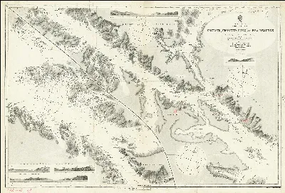
Admiralty Chart No 887 Magellan Strait English, Crooked, Long and Sea Reaches. Surveyed by Captain W.J.L. Wharton and the Officers of H.M.S. Sylvia, Published 1884
1915
0
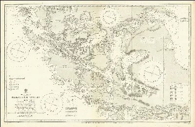
Admiralty Chart No 554 Magellan Strait (Properly Magalhaen) from various Admiralty surveys . . . with additions from Argentine, Chilean and French government surveys, published 1887
1923
0
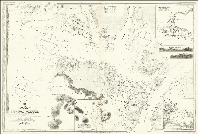
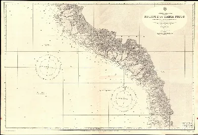
Admiralty Chart No 1374 South America Sheet V Chile Pt. S. Antonio to Pt. Tucapel, Published 1835
1840 Valdivia
0
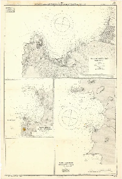
Admiralty Chart No 1286 South America Sheet VI Chile Tucapel Point to Point Lora, Published 1840
1840 Concepción
0
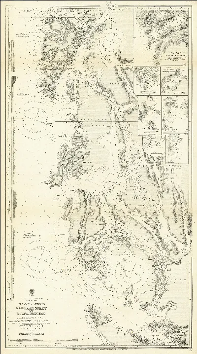
Admiralty Chart No 23 Patagonia -- Channels Between Magellan Strait and Gulf of Trinidad From Various Admiralty Surveys Additions and Corrections from Chilean Government Charts to 1918, Published 1920
1920
0